ULS Land Surveying provides precision boundary, topographic, ALTA, and construction staking services.
Precision land surveying built on experience, integrity, and technical excellence across Utah, Idaho, and Wyoming.
Founded in 1990, Utah Land Surveying delivers defensible, high-accuracy land data supporting development, engineering, and property clarity across Utah, Idaho, and Wyoming.
Utah, Idaho, and Wyoming professional licensure.
Commercial aerial mapping and drone operations.
Nationally recognized land title survey standards.

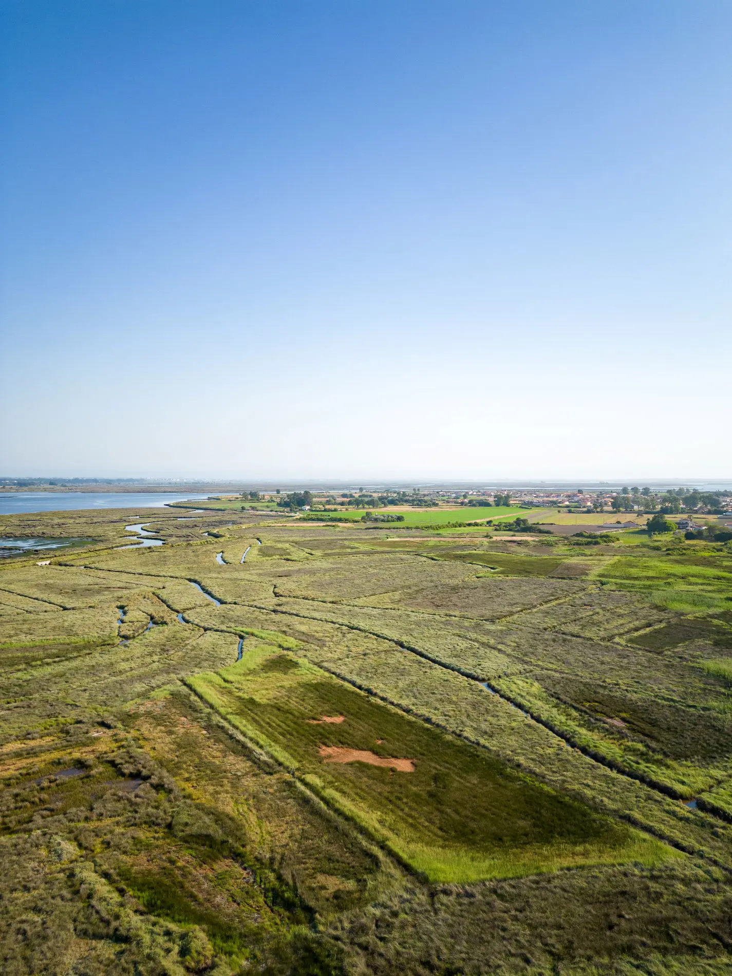
ULS provides professional land surveying services throughout Northern Utah, supporting residential, commercial, and municipal projects.
Modern GPS, robotic total stations, and drone mapping tools.
Deep understanding of state statutes and land use codes.
Subdivision, annexation, and consolidation support.
Engineers, municipalities, developers, and property owners.
Multi-state licensure and FAA Part 107 certification.
Efficient fieldwork with dependable documentation turnaround.
From boundary verification to full-scale subdivision plats, ULS delivers accurate land data supporting development, engineering, and property clarity.
Accurate property line verification for ownership clarity and dispute prevention.
Full plat preparation supporting municipal approvals and development projects.
FAA-certified aerial mapping and orthomosaic data collection services.
Commercial-grade surveys meeting national ALTA/NSPS standards.
Whether you're planning development, verifying boundaries, or preparing subdivision documentation — ULS delivers accurate, compliant, and dependable surveying solutions.