ULS Land Surveying provides precision boundary, topographic, ALTA, and construction staking services.
When it comes to commercial property, there is no room for guesswork. Utah Land Surveying provides comprehensive ALTA/NSPS Land Title Surveys designed to give property owners, developers, lenders, and title companies the clarity needed to move forward with confidence.
An ALTA survey is one of the most detailed types of land surveys available. It follows national standards established by the American Land Title Association and the National Society of Professional Surveyors, creating a consistent, reliable survey format for commercial real estate transactions.
Unlike a basic boundary survey, an ALTA survey provides a more complete view of both the legal and physical characteristics of a property. It helps identify boundaries, easements, improvements, access points, utilities, encroachments, and other conditions that may affect ownership, financing, title insurance, or development plans.
For many commercial purchases, refinances, and development projects, lenders and title companies require this level of detail before closing or issuing title coverage.
Every ALTA survey is prepared with accuracy, compliance, and real-world decision-making in mind. We evaluate the property from multiple angles so stakeholders have the information needed to understand risk and move forward.
Precise boundary review based on legal descriptions, field evidence, recorded documents, and survey standards.
Identification and mapping of easements, rights-of-way, access points, and recorded property limitations.
Documentation of buildings, structures, parking areas, fences, drives, and other visible improvements.
Visible and researched utility locations can be included to support due diligence, design, and development planning.
Potential conflicts with neighboring properties, improvements, or access conditions are identified and documented.
Optional ALTA Table A items can be reviewed and incorporated based on lender, title, or project requirements.
An ALTA survey often becomes the starting point for financing, title review, development planning, engineering, construction, and long-term property management.
Support due diligence before buying land, buildings, or development sites.
Provide the survey documentation commonly required by title companies and lenders.
Clarify property conditions before design, engineering, municipal review, or construction.
Understand potential encroachments, access issues, easements, and conflicts before they become larger problems.
We combine detailed research, thorough fieldwork, accurate drafting, and clear delivery so your team receives a survey that is usable, compliant, and built around the needs of the transaction.
We review the property, transaction goals, title requirements, lender needs, and requested Table A items.
Our team examines deeds, title commitments, legal descriptions, recorded plats, easements, and historical records.
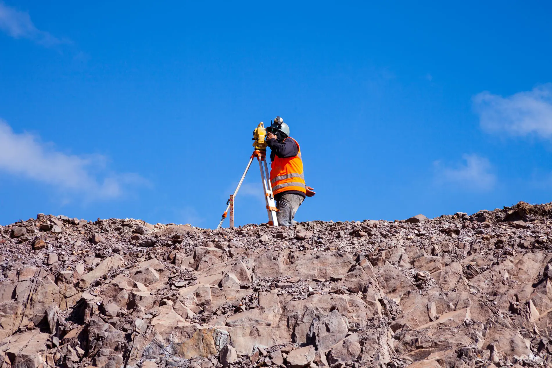
We verify on-site conditions using professional equipment, GPS, field measurements, and survey control methods.
Survey data is translated into a clear ALTA/NSPS-compliant deliverable showing boundaries, improvements, access, and relevant features.
We coordinate findings with project stakeholders, title contacts, lenders, attorneys, engineers, or developers as needed.
Final digital and/or hard-copy survey documents are delivered in a clear format ready for transaction, title, and project use.
Choosing a surveyor is not just about getting a map. It is about working with a team that understands what is at stake. Utah Land Surveying brings hands-on experience across Utah’s diverse terrain, from urban commercial sites to large development parcels.
We combine proven field practices with modern technology such as GPS, 3D mapping, and advanced data processing tools to help identify issues early, reduce delays, and deliver results you can rely on.
GPS, mapping, and survey data tools help support precise deliverables.
Prepared around ALTA/NSPS standards and project-specific requirements.
We explain what we find, why it matters, and how it may impact next steps.
Survey information that can support planning, engineering, permitting, and construction.
If you are purchasing, refinancing, developing, or evaluating commercial land in Utah, an ALTA survey is one of the most important steps you can take. Contact Utah Land Surveying today to request a quote or speak with our team about your project.
Request ALTA Survey Quote