ULS Land Surveying provides precision boundary, topographic, ALTA, and construction staking services.
Clear property lines create confident decisions. Utah Land Surveying provides professional boundary surveying services designed to help property owners, buyers, developers, contractors, title professionals, and municipalities understand where one parcel ends and another begins.
A boundary survey is the process of locating, analyzing, and documenting the legal boundaries of a parcel of land. It helps determine where property corners and property lines are located, how they relate to surrounding parcels, and whether site features such as fences, driveways, walls, or structures may affect property use.
Paper records alone do not always provide enough clarity. Deeds may be old, legal descriptions may be confusing, and fences are not always installed in the correct location. A professional boundary survey combines records research, field measurements, physical evidence, and professional judgment to replace uncertainty with documented facts.
Boundary surveys are commonly used before building, buying, selling, refinancing, improving, dividing, fencing, or developing land. They are also useful when property owners need to understand access, easements, setbacks, encroachments, or neighbor-related boundary concerns.
A boundary survey gives property owners and project teams the clarity needed to make informed decisions before construction, development, purchase, sale, or dispute resolution.
Locate and evaluate property corners using recorded documents, field evidence, monuments, and professional survey methods.
Determine the legal limits of the parcel and how those lines relate to adjoining properties and site improvements.
Review whether fences, walls, driveways, sheds, additions, or other improvements align with the actual boundary.
Identify potential crossings, overlaps, or conflicts involving neighboring structures, access features, or site improvements.
Support review of access points, easements, right-of-way issues, and areas that may affect how the property can be used.
Help confirm where future garages, additions, fences, retaining walls, driveways, or structures may be planned.
A boundary survey can feel optional until a project, sale, permit, dispute, or construction decision makes it urgent. Ordering one early helps prevent avoidable delays, redesigns, neighbor conflict, and costly mistakes.
Useful before installing fences, garages, additions, retaining walls, driveways, shops, or other property improvements.
Provides accurate boundary information before design, engineering, site planning, municipal review, or construction.
Helps buyers, sellers, investors, and title professionals understand property conditions before closing or transfer.
Clarifies boundaries when fences, walls, driveways, structures, or neighbor assumptions create uncertainty.
Boundary surveying combines legal research, math, field investigation, measurement technology, and professional judgment. The documents tell us what should exist; the fieldwork helps determine what does exist.
We begin by understanding your reason for the survey, whether it involves construction, a property line question, due diligence, permitting, or a dispute.
Our team reviews deeds, plats, legal descriptions, prior surveys, adjoining parcels, easements, and other relevant property records.
We search for monuments, pins, markers, fences, walls, occupation lines, and other physical evidence tied to the boundary.
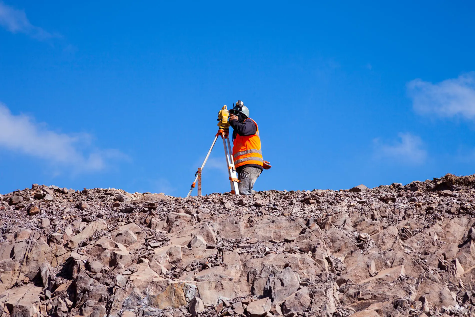
Using professional-grade equipment, we measure angles, distances, positions, and field conditions needed to evaluate the property.
Survey data and records are compared, analyzed, and drafted into a clear deliverable that shows boundary lines and relevant findings.
We provide survey results in a usable format for property owners, contractors, title professionals, agencies, or project teams.
A boundary survey helps reduce risk before expensive problems begin. Building too close to a line, improving the wrong side of a boundary, or assuming a fence reflects legal ownership can create corrections that cost far more than the survey itself.
Starting with accurate boundary information supports better planning, cleaner site design, smoother permitting, fewer conflicts, and stronger long-term property documentation.
GPS, robotic total stations, field data collection, and drafting tools support precise survey work.
Boundary results are based on records, monuments, field evidence, measurements, and professional analysis.
We explain what we find, why it matters, and how it may affect ownership, construction, or next steps.
Survey information can support permitting, design, engineering, development, and property improvement decisions.
Boundary survey pricing depends on the research, fieldwork, analysis, and drafting required to reach a defensible conclusion. A smaller property can still be complex if records conflict, access is limited, or physical evidence is difficult to locate.
Boundary questions often involve more than measurements alone. These answers explain why research, field evidence, and professional interpretation all matter.
Yes. A fence may reflect occupation, convenience, or a past assumption, but it does not automatically define the legal boundary. A survey compares the legal record and physical evidence to determine whether the fence aligns with the actual property line.
Surveyors analyze record documents, monuments, historical evidence, adjoining parcels, and accepted surveying principles to interpret the boundary. When conflicts exist, experience and judgment become especially important.
No. GPS is a powerful measurement tool, but legal boundary determination also requires record research, evidence evaluation, monument recovery, and professional interpretation.
Yes. By showing where legal lines are located before a fence, driveway, structure, or improvement is installed, a survey helps reduce the risk of placing improvements across a line.
Yes. Boundary surveys may uncover encroachments, gaps, overlaps, easement concerns, or occupation issues that can influence title review, planning decisions, or future construction.
The strength of a survey comes from quality research, thorough field investigation, accurate measurements, clear deliverables, and professional judgment built on evidence rather than shortcuts.
Whether you are building, buying, selling, improving, subdividing, resolving a dispute, or planning development, a boundary survey can provide the clarity needed to move forward with confidence. Contact Utah Land Surveying today to request a quote.
Request Boundary Survey Quote